Explore

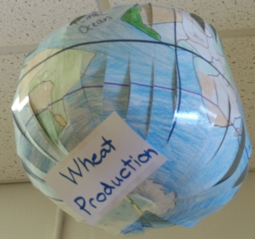
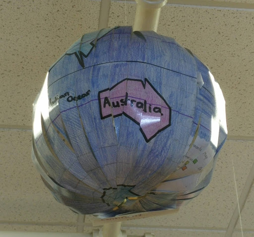
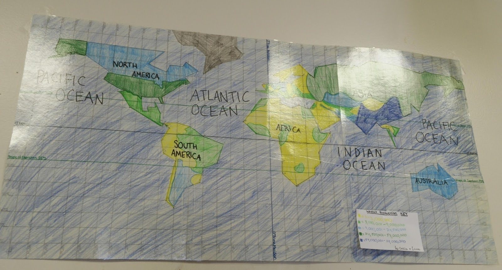
Custom globes showing geographic, political or demographic information.
Scissors
Laminator (optional)
Pens, pencils, markers, etc.
Paper
Tape
Students in a 6th grade social studies class drew and assembled paper globes that showed geographic, political or demographic information by country. Theʏ used paper and art materials to draw flat maps first, then cut and formed their maps into globes. Through this project, students learned about map projections and had to research their assigned statistics.
Have a question or want to share your Makes with us? Contact us!
k12maker@mit.edu


.svg)
We help educators integrate Maker/STEAM projects into regular academic classes, making their curriculum more engaging, promoting "21st-century" durable skills, and fostering literacy in creative technologies used by professionals.